With the location table in ServiceNow, latitude and longitude values defined allow data to become visualized on Google Map pages.
So how can we visualize data on Google Maps? The answer is in pre-defined map pages that we can create modules to access.
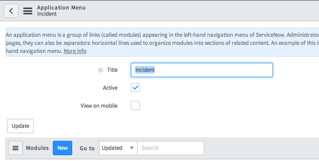
- Open the application in which you want to create a module (link) pointing to the Google Map. In this example, we open the incident application. This can be done by typing sys_app_application.list into the navigator and opening the application record of choice.
- From the modules related list, press the New button to create a new module. Define the name and order per your specifications. Next, set the module type to URL (from arguments).
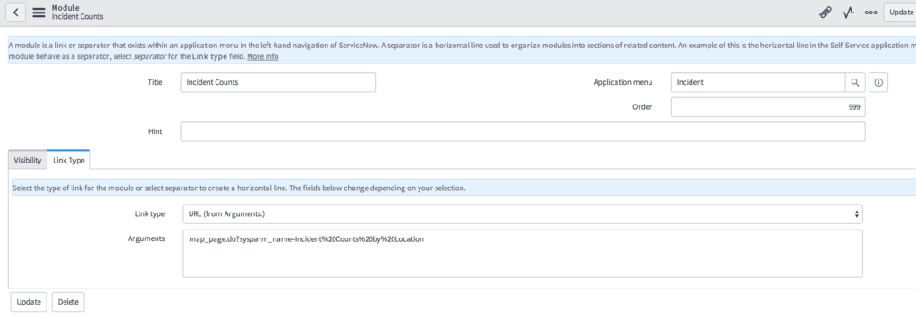
- In the arguments field, enter the following text for the corresponding map feature:
Location records mapped: map_page.do?sysparm_name=All%20locationsP1 Incidents mapped: map_page.do?sysparm_name=Critical%20incidents
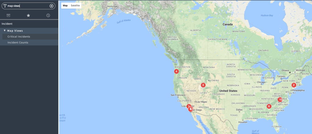
Incidents mapped based on location: map_page.do?sysparm_name=Incident%20Counts%20by%20Location
Locations in United States: map_page.do?sysparm_name=United%20States%20locations
In this completed example, we created a new module for Critical Incidents which we placed under a Map Views separator module we had previously created: